When the Met Office issued its first major snow warning of the season on November 19, 2025, few expected the storm to be so sharply focused. While headlines screamed about "seven inches burying Brits," the reality was far more nuanced: snow wasn’t coming everywhere — just to a few high-elevation pockets where cold, moist air met just the right conditions. In the North York Moors and the Yorkshire Wolds, forecasters predicted 20 to 25 centimetres of snow above 300 metres — enough to close minor roads, delay school buses, and turn hillside footpaths into icy treks. Meanwhile, in Northern Scotland, particularly the Grampians, snowfall could reach 30 centimetres. But down in Birmingham? Barely a dusting. In London? None at all. This isn’t winter storm chaos — it’s winter weather precision.
Why Only These Places?
It’s not magic. It’s physics. The Met Office explained that snow in the UK doesn’t arrive like a blanket — it arrives like a spotlight. For snow to stick, three things must align: freezing air, moisture, and elevation. Cold Arctic air swept south from the North Pole, but it wasn’t cold enough everywhere to turn rain into snow. Only where that air crossed the relatively warmer North Sea — picking up just enough moisture — did it become heavy enough to dump snow. And even then, it needed altitude. The North York Moors and Yorkshire Wolds rise above 250 metres, making them natural snow traps. Below that, it rained. Above? Snow piled up.
"Before I go any further, I want to emphasise that it’s the North York Moors and the Yorkshire Wolds where we are most concerned about impacts from snow," said Aidan McGivern, a senior meteorologist at the Met Office, in a widely viewed YouTube forecast on November 18, 2025. His tone wasn’t alarmist — it was instructive. He knew the public had been primed by clickbait. The goal wasn’t panic. It was preparedness.
Media Missteps and Official Clarifications
The disconnect between media frenzy and meteorological nuance was stark. By November 25, 2025, the Met Office published a blog titled "Met Office weather headline review," directly addressing the "bury Brits" narrative. "The actual forecast," they wrote, "showed snow would be most likely on higher ground in Scotland, rather than widespread across the UK." They noted temperatures were normal — or even slightly above — for late November. No record cold. No frozen nation. Just a few lucky (or unlucky) spots getting the full winter treatment.
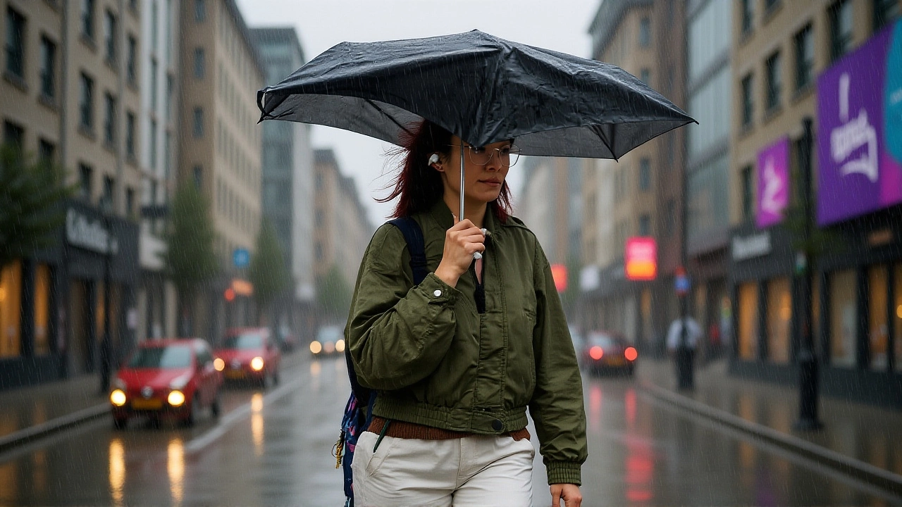
That same day, the Met Office tweeted: "Yellow warnings for snow and ice are in place over the next couple of days ⚠️ Many places won’t see much settling snow with icy roads more of a hazard." The message was clear: ice on tarmac was the real danger. Not snowdrifts in the countryside — but black ice on the A1 and M1. Commuters needed windshield scrapers, not snow shovels.
What Came Next: A Rollercoaster Winter Begins
By November 27, 2025, the pattern shifted. The Met Office’s 10-day trend report titled "Unsettled weather as winter begins" revealed a new phase: low pressure systems rolling in from the Atlantic, bringing rain to South Wales, southwest England, and parts of East Anglia and Lincolnshire. Some areas could see nearly 50 millimetres of rain in under 48 hours. Meanwhile, colder air lingered over the north, meaning sleet and snow still hovered over the Pennines and Scottish Highlands.
Temperatures? They danced. One day, it was -4°C in the Scottish Borders. The next, 7°C in Kent. "It’s a little bit of everything on the way," the Met Office summarized in its November 24 forecast. That’s the UK winter: unpredictable, patchy, and never quite what you expect.
Longer-Term Outlook: Stratospheric Warming and La Niña
Behind the scenes, larger forces were stirring. The independent forecasting site severe-weather.eu noted a developing stratospheric warming event — a sudden spike in upper-atmosphere temperatures that weakens the polar vortex. That’s not just jargon. It means cold Arctic air gets kicked out of the north pole and sent spiraling toward Europe. Combined with a lingering La Niña pattern in the Pacific, this could mean more snow than originally predicted across the UK and Ireland this winter.
"There is more snowfall now forecast in the latest data over central and west-central parts, and over parts of the UK and Ireland," the report noted. But here’s the catch: these are long-range signals, not guarantees. The Met Office has always been clear: "Unlike regions with more stable winter climates, the UK’s variable weather means snow cannot be forecast with high confidence weeks in advance."
So while models suggest a snowier winter ahead, the next two weeks will still be decided by the daily dance of wind, moisture, and temperature — not by a single model run.
What This Means for Everyday Life
For drivers, the takeaway is simple: watch for ice, not snowdrifts. For farmers, the snow in the moors might help winter pasture recovery — but the rain in the valleys could delay harvests. For outdoor enthusiasts, the hills are open for winter hiking — but only with proper gear and updated trail alerts.
And for the rest of us? It’s a reminder that the UK’s weather isn’t broken — it’s just being itself. No single storm defines the season. No headline tells the whole story. The real forecast isn’t in the viral clip or the newspaper front page. It’s in the quiet, careful updates from the Met Office — the ones that say: "It’s cold. It’s wet. It’s snowy — but only here."
Frequently Asked Questions
Why was snow only forecast in specific parts of northern England and Scotland?
Snow requires a precise mix of freezing air, moisture, and elevation. The North York Moors and Yorkshire Wolds rise above 300 metres, allowing cold Arctic air — moistened by the North Sea — to drop snow instead of rain. Lower areas stayed above freezing, so precipitation fell as rain or sleet.
Did the Met Office overstate the snow risk?
No. The Met Office issued targeted yellow warnings only for areas with significant accumulation potential. They actively corrected sensational media claims, clarifying that snow would be localized and that icy roads were a greater hazard than snowdrifts for most of the country.
How does this compare to last winter’s snowfall?
Last winter saw broader but lighter snow across the UK, with most accumulations under 10 cm. This event is more intense but far more focused. The 20–30 cm forecast in the Grampians and North York Moors is comparable to major snowfalls seen in 2018 and 2021 — but only in those highland zones, not nationwide.
What’s the role of La Niña and stratospheric warming in this winter’s forecast?
La Niña typically brings cooler, wetter winters to the UK, while a stratospheric warming event can disrupt the polar vortex, allowing Arctic air to spill south. Together, they increase the chance of prolonged cold spells and snow, especially over northern Britain — though timing and intensity remain uncertain until just days before.
Should people in southern England prepare for snow?
Unlikely. The Met Office forecasts show the southeast will remain mostly wet and mild, with rain dominating. Snow in London or Manchester is possible only during rare, brief cold snaps — not as part of this current system. Focus on icy roads, not snowplows.
How accurate are long-range snow forecasts like those from severe-weather.eu?
Long-range models offer trends, not certainty. The Met Office says snow can’t be reliably predicted more than 7–10 days ahead in the UK due to its volatile climate. While severe-weather.eu’s stratospheric warming signal is scientifically valid, actual snowfall will depend on daily weather patterns that evolve rapidly.